0
States present
Land, aerial, hydrological and subsurface surveys — high-caliber techno-legal engineering that converts complex ground realities into decisions you can build on.
We map what others miss — every contour, boundary and layer — so your project stands on ground truth, not guesswork.
Certified surveyors and techno-legal specialists with a decade in the field.
Total stations, GNSS and UAVs captured to exacting tolerance.
Documentation built to hold up — legally and on site.
12+ offices mobilising across 15 states, fast.
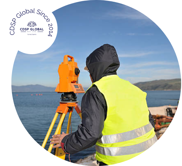 ◎ FIELD · TOTAL STATION
Boundaries, topography and contours resolved with precision where accuracy meets expertise.
High-resolution orthomosaics and 3D terrain models from state-of-the-art UAV capture.
Accurate, insightful data for water-related projects, catchments and drainage planning.
Comprehensive insight into underground conditions, utilities and buried infrastructure.
Seamless coordination between businesses and regulatory authorities — approvals, done right.
Turning vacant land into vibrant communities and permit-ready, sustainable infrastructure.
From ground to deliverable.
Scope terrain, constraints and control points before a single reading.
Total stations, GNSS and drones capture the site to millimetre discipline.
Raw data becomes CAD, contours, DTMs and clear, checkable reports.
Certified drawings and techno-legal documentation, ready to build on.